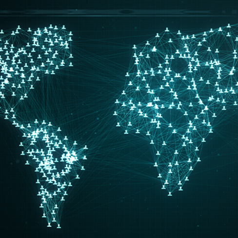
Making remote sensing data accessible and applicable.
Continuous monitoring capability of vegetation and environment for historical and near real time.
Crops identified across the globe
Square kilometers monitored every week
Realize your full potential through with innovative solutions for your challenging problems.

Crop area
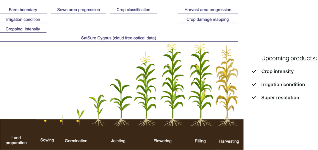
All weather vegetation monitoring with SatSure Cygnus
Crop yield estimation
Crop condition monitoring

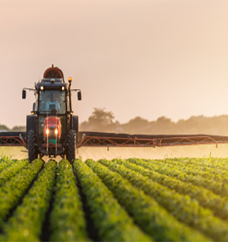
Crop classification and area estimation
Optimized field tracking & operations planning
Crop performance monitoring
Crop insights at an insurance unit level
Crop growth stage monitoring
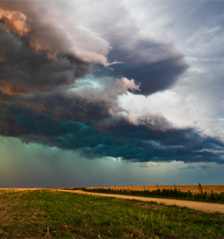
Crop damage assessment due to natural activity
Historical and current crop area
Yield estimation
Risk Assessment at insurance unit levels
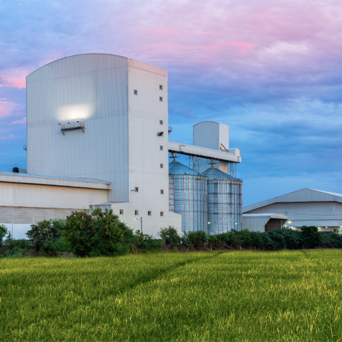
Digital transformation for agriculture management
Crop growth stage monitoring
Crop classification and area estimations
Improve operational efficiency
Crop classification & area estimation
Crop yield estimation
Inventory management with spatial inteliigence
Crop performance monitoring
Market arrivals of commodities

Crop classification & area estimation
Crop performing monitoring
Crop damage assessment due to natural events
Forecasting demand-supply gaps during a cropping season
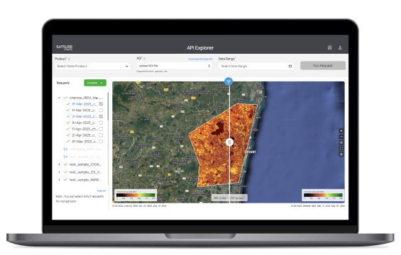
Using SatSure Cygnus, an innovative, deep learning based data product to tackle cloud cover challenges in crop monitoring.
The dependency on the field survey team for crop insights and quality combined with limited transparency on crop monitoring with optical satellites due to heavy cloud cover impacted the crop monitoring capabilities of the client.
Cloud cover is a persistent challenge which hinders the monitoring capability with optical satellite imagery, with certain regions having up to 60% cloud coverage in a cropping season.
We deployed a remote monitoring dashboard driven by SatSure Cygnus. SatSure Cygnus is an all weather, optical virtual constellation, which reconstructs optical data with SAR data, to provide vegetation monitoring capability throughout the cropping season.
Improving usage of farm equipments through a unique service model using crop stage monitoring from satellite imagery.
The client had deployed an innovative farm equipment-as-a-service model and relied solely on the field survey team for information on crop growth stages.
The client wanted to reach the farms at the right stage of crop growth to increase the utilization of its farm equipment by farmers. However, high reliance on the field team for this information resulted in missed sales opportunities.
We delivered near real time information on Crop area, Sowing and Harvest Progression for optimized demand estimation and sales planning. The data is updated at delivered at village, tehsil and district level via a custom made visual dashboard.
Tackling challenges in crop biomass procurement with predictive and prescriptive insights from crop stage monitoring with satellites.
The client procures biomass and relied mostly on the field team for information on crop stage which resulted in missed procurement opportunity or loss of produce due to late procurement.
The client faced complex problems for crop biomass procurement due to reliance of field survey and lack of digitization across processes leading to increased manual errors in data collection, lack of data standardization, no transparency on quality of data, and the process overall being cost and labour intensive.
We delivered customized dashboard and reports through continuous crop monitoring and a transparent information flow of crop insights with supporting information of warehouse locations nad road network data to improve procurement planning and storage.
Using satellite imagery based crop stage monitoring for insurance lifecycle risk management.
The limited use of technology in the insurance industry resulted in the client relying on field personnel for information on crop growth and damage assessments after natural disasters, necessary for claim validation. This caused an increase in expenses and prolonged claim assessments and settlements.
During any natural calamity, the ability to survey the area is limited which causes delay in damage assessments and claim settlements.
We provided a continuous crop monitoring capability with SatSure Sparta with insights available for an insurance unit level. The use of satellite imagery enabled assessment of crop damage due to natural events like floods, allowing efficient assessment and claims settlement.
Personalized solutions that cater to your business's specific needs and goals.


Privacy Policy • Terms of Service
© 2023 SatSure. All Rights Reserved.