Scaling Earth Observation and AI for Global Impact
Trusted By


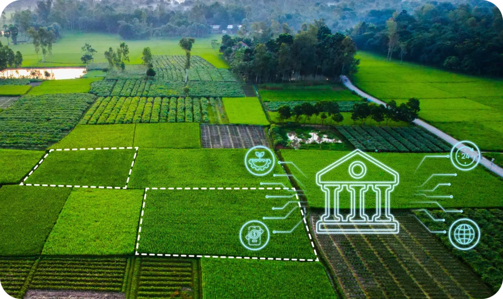
From Earth Observation Data Source to Decision Intelligence
Integrate decision intelligence from space to your industries to meet your industry-specific needs

Digitize airspace intelligence with high-resolution terrain and obstacle data, streamlining airport operations and aviation safety.
- Smart infrastructure mapping for NIC and others
- Drone and satellite-based change detection
- Village-level digitization and asset detection
Unlock market precision through satellite-based spatial intelligence for every stage of the agri value chain—from input distribution to output procurement.
- In-season crop monitoring and yield estimation
- Micro-market mapping and inventory optimization
- Procurement planning for agro-commodities
Drive financial inclusion with farm-level intelligence for credit risk scoring, insurance validation, and rural banking expansion.
- SatSource Report with crop and credit insights
- Delinquency and portfolio risk prediction
- CCE reduction and claims validation
Optimize infrastructure routes and utility maintenance with change detection, asset tracking, and vegetation monitoring.
- Route optimization for roads, rail, and powerlines
- Risk-based vegetation and ROW management
- Construction monitoring in remote areas

Monitor forest health, combat deforestation, and enable carbon markets with SatSure’s digital forest stack.
- Canopy density and tree cover change detection
- Plantation tracking and carbon stock estimation
- Forest fire risk monitoring and alerts

De-risk agricultural insurance portfolios with SatSure’s EO-powered reinsurance solutions.
- Crop health and yield tracking for premium estimation
- Rapid claim settlement with satellite-based assessment
- Weather anomaly alerts to manage risk and payouts
Aviation
Digitize airspace intelligence with high-resolution terrain and obstacle data, streamlining airport operations and aviation safety.
- Smart infrastructure mapping for NIC and others
- Drone and satellite-based change detection
- Village-level digitization and asset detection
Agriculture
Unlock market precision through satellite-based spatial intelligence for every stage of the agri value chain—from input distribution to output procurement.
- In-season crop monitoring and yield estimation
- Micro-market mapping and inventory optimization
- Procurement planning for agro-commodities
Banking
Drive financial inclusion with farm-level intelligence for credit risk scoring, insurance validation, and rural banking expansion.
- Drive financial inclusion with farm-level intelligence for credit risk scoring, insurance validation, and rural banking expansion.
- Delinquency and portfolio risk prediction
- CCE reduction and claims validation
Utilities & Critical Infra
Optimize infrastructure routes and utility maintenance with change detection, asset tracking, and vegetation monitoring.
- Route optimization for roads, rail, and powerlines
- Risk-based vegetation and ROW management
- Construction monitoring in remote areas
Forestry
Monitor forest health, combat deforestation, and enable carbon markets with SatSure’s digital forest stack.
- Canopy density and tree cover change detection
- Plantation tracking and carbon stock estimation
- Forest fire risk monitoring and alerts
Insurance and Reinsurance
De-risk Agricultural Insurance Portfolios with SatSure’s EO-Powered ReInsurance Solutions
- Crop health and yield tracking for premium estimation
- Rapid claim settlement with satellite-based assessment
- Weather anomaly alerts to manage risk and payouts
Building the ‘Digital Dictionary of the Living Earth’
We combine satellite, LiDAR, and aerial imagery with advanced technologies like remote sensing and AI to transform raw Earth data into actionable decision intelligence for real-world problem-solving across sectors

From Data to Impact: Transforming Industries with Decision Intelligence
Customer Testimonials
One of the main obstacles for credit penetration in agriculture is the lack of a holistic source for assessing credit and production risks. With CCFR providing actionable credit insights and crop production data, lenders now have a comprehensive view for effective credit risk management and policy implementation," states Rajesh Kumar, MD and CEO of TransUnion CIBIL.
Rajesh Kumar
MD and CEO

The Regrid team loves working with the SatSure team. We approached SatSure to jumpstart our own ML work, and our inquiry was not an easy one. We were looking for a solution that would enable us to best combine the geometries of all 157 Million land parcels in the US with aerial imagery as well as the textual data fields for each parcel to build ML models. No biggy, right?
Jerry Paffendorf
Co-Founder & CEO
This partnership with SatSure enhances climate risk reporting through up-to-date high-resolution agricultural land use insights, that enables improved management and investment decision-making. By combining satellite analytics with nationwide parcel-level data, it empowers the agricultural sector to make better decisions, manage emissions more effectively, track land use changes, and drive sustainable outcomes.
Dean Capobianco
CEO
Our partnership with SatSure is a game-changer that reinforces our mission to empower financial institutions with advanced technological solutions that drive both growth and efficiency. By seamlessly integrating SatSure's advanced Earth Observation capabilities, we are providing an unparalleled level of clarity and confidence, enabling lenders to manage risk more effectively and significantly expand their reach into underserved rural communities, thereby accelerating financial inclusion and access in the agricultural sector.
Sridhar Narayan
CBO, Perfios

Powering the Future of EO - From Orbit to Insights
KaleidEO, SatSure’s upstream arm, delivers high-res satellite imagery with edge intelligence, enabling full-stack, sovereign-ready EO solutions at global scale
Featured Stories
SatSure and KALRO Partner to Leverage Satellite Data for Agricultural Transformation in Kenya


SatSure and Dhruva Space forge strategic alliance to deliver end-to-end Earth Observation-as-a-Service (EOaaS) Solutions


SatSure X SEA: Advanced Agricultural Forecasting for Rapeseed-Mustard Production